Every once in a blue moon, a technology comes along that radically changes the way we do things. The advent of computer aided design (CAD) in the 1960’s heralded an incredible explosion in capabilities in all areas of design. Landscape design is, of course, no exception, but it does present certain challenges.

If you have any background in IT, you know that that no matter how sophisticated the programming or talented the programmer, the quality of input data is critical to outcome. This applies to CAD as well. That’s why we are over-the-top excited to put our new Phantom 4 landscape drone to work on landscape design projects.
5 Reasons Our Drone Is Our New Favorite Landscape Design Tool
Drones are the ideal tool to assist in so many landscape design applications. Here are some of the ways we are using ours:
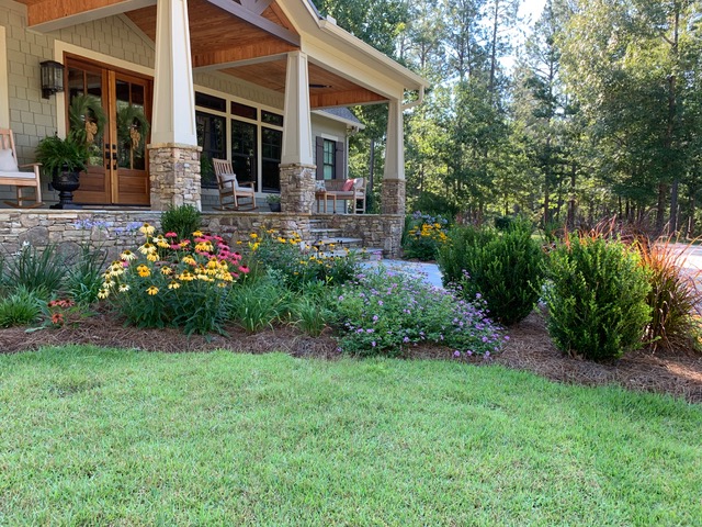
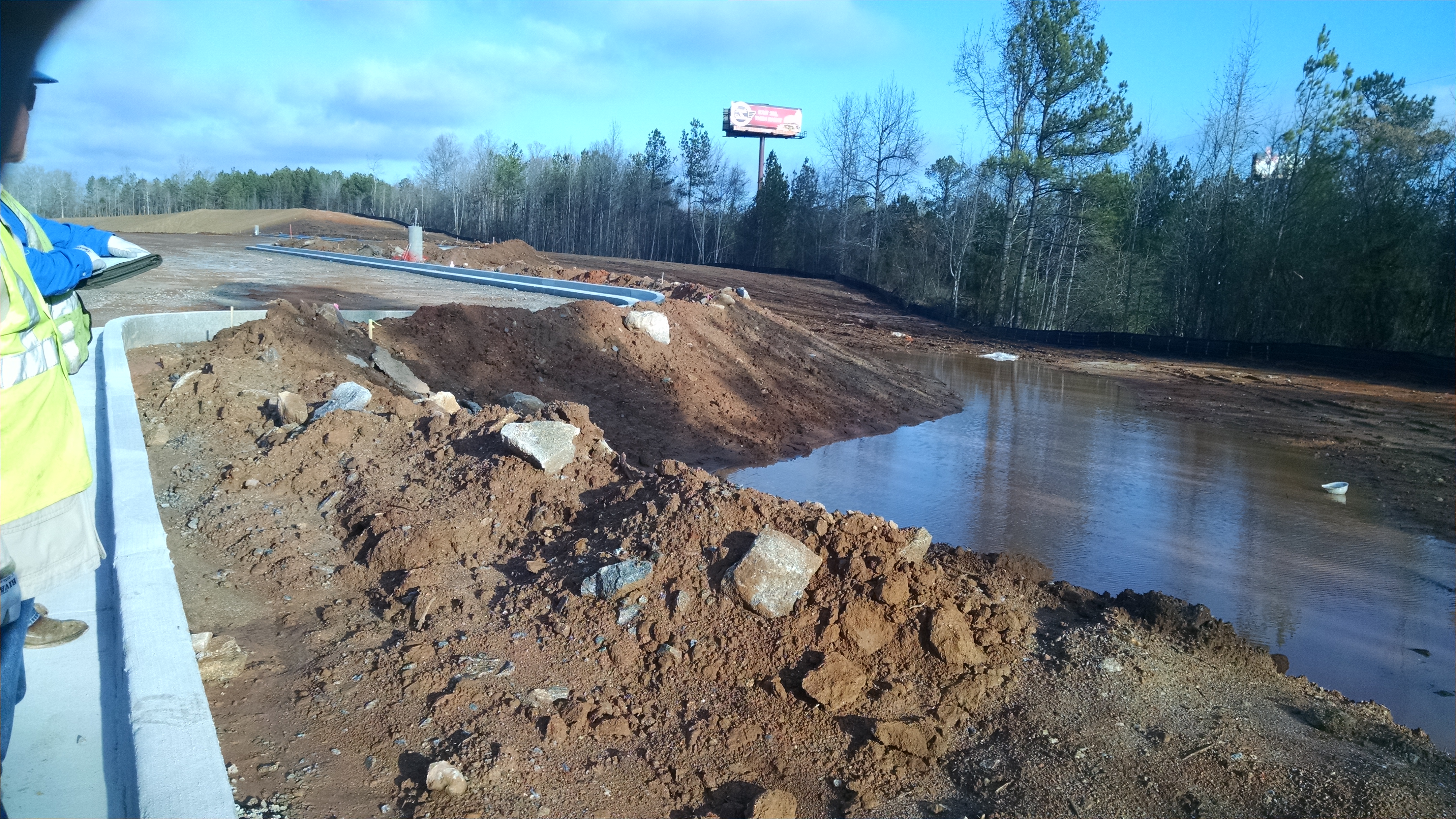
Super high resolution footage. Our landscape drone enables us to secure a bird’s eye view of a large scale area in unprecedented detail. If you think Google Earth is impressive, you should see our drone footage. Its super high 4K resolution shows the terrain in much more detail than Google Earth. You can drop a pen on any area and zoom in to a very detailed level. I was doing that the other day and looking with incredible detail at pebbles shot from 45 feet in the air. Not only is this intrinsically cool, but it enables us to really see what is going on at ground level, so we can create a more appropriate and useful design for the site.
Software integration. Once the Phantom collects data, we love that it’s so easy for us to quickly download it into the CAD systems, GIS tools, and other design and analysis software we use.
Superior tool for landscape analysis. Having aerial access to a property gives us a huge advantage when it comes to analysis of land forms, drainage ways, quality and placement of vegetation, and other landscape elements. It also facilitates analysis of vehicle and pedestrian traffic patterns: it reveals things you just can’t see from the ground. This really helps us design greater safety and efficiency into the landscape. For instance, in site planning and design we will often create a matrix or spaghetti diagram to show the hierarchy of movement and needs. Campus landscape design is a great example: the matrix helps us see where the heaviest amount of foot traffic is, and determine where we need to focus the design to best facilitate motion through the available space.
Visualization. We use drone data to create far more realistic images of proposed projects. It really helps people visualize a concept and enables them to see exactly what things will look like with various design options.
Stakeholder output. Finally, the drone is a communication tool par excellence. Drone-generated video footage and project illustrations are incredibly useful when you need to present a landscape design concept to boards, committees, and other groups. With the enhanced visualization capabilities that drone data makes possible, people can come to agreement sooner and expedite the planning stage of the project.
Discover The Difference A Drone Can Make To Your Next Landscape Design Project
Drone aided landscape design can speed project timelines significantly and is ideal for complex land planning projects and hard to access sites. If you would like to know more, please call us at 478-750-7733. Or, contact us here today and we’ll be in touch with you soon.
1 Oct 2024